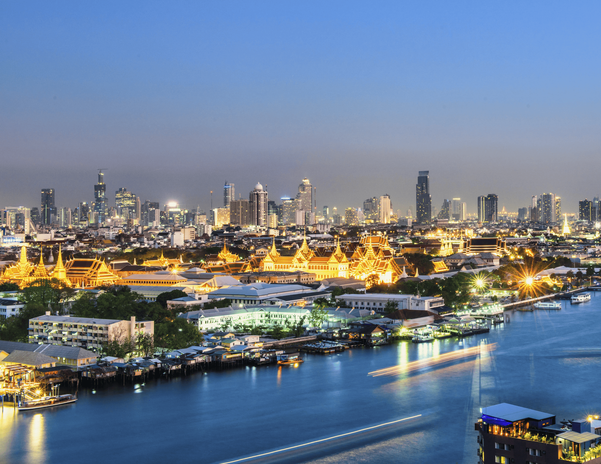
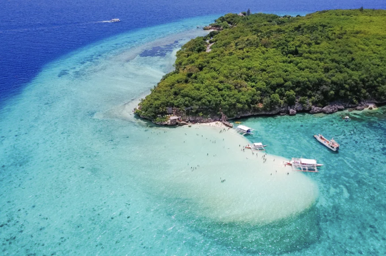
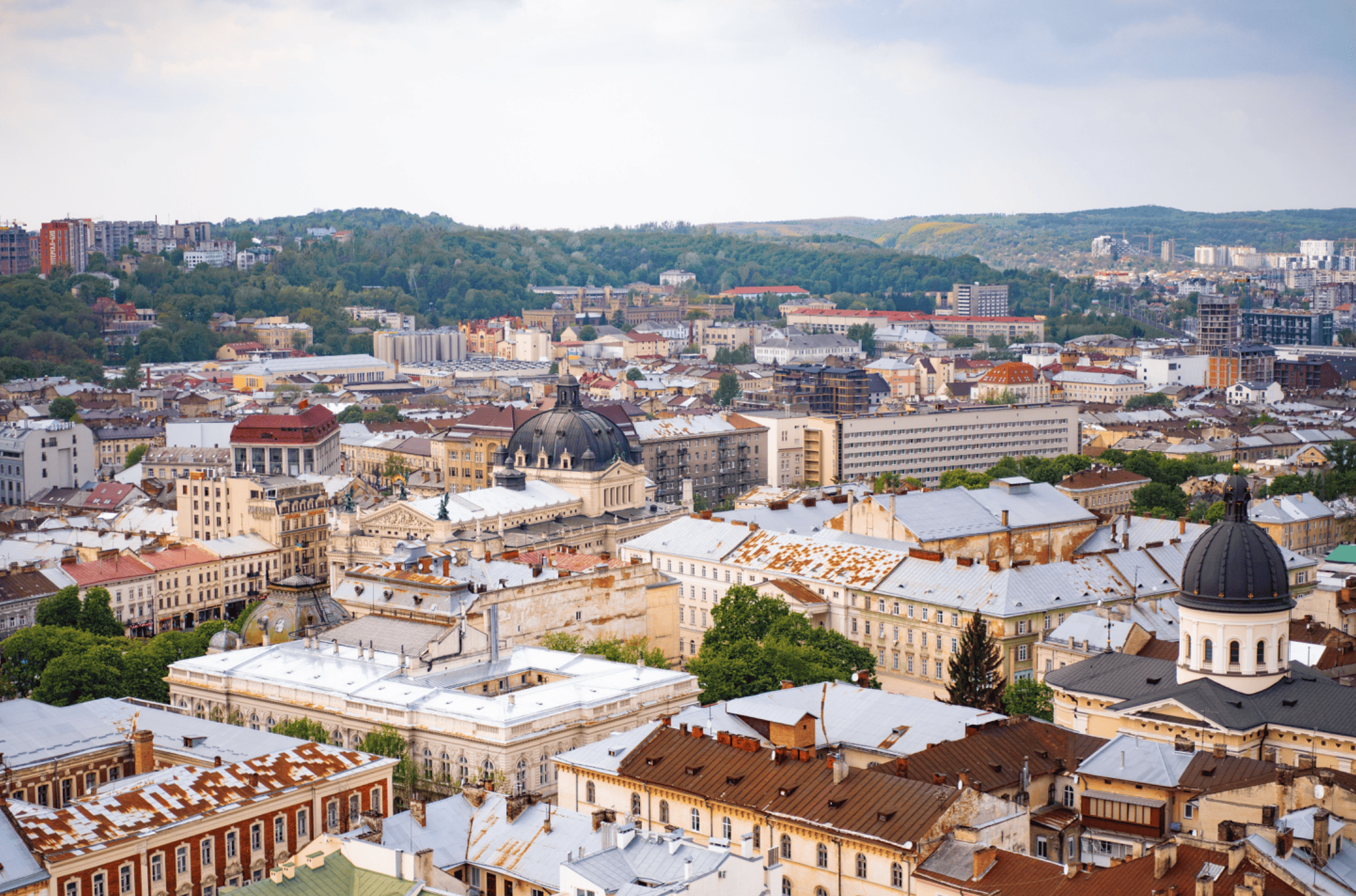
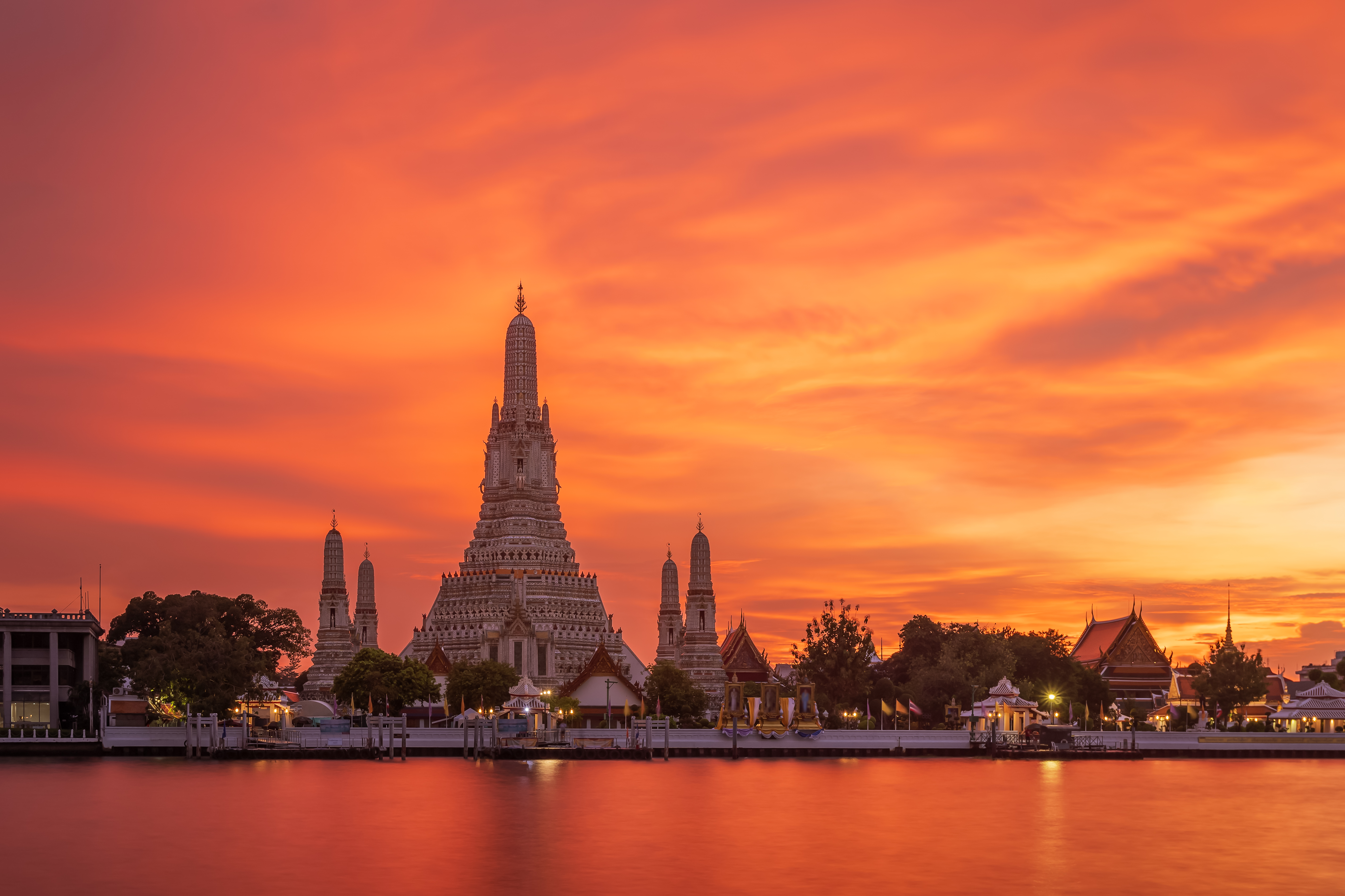
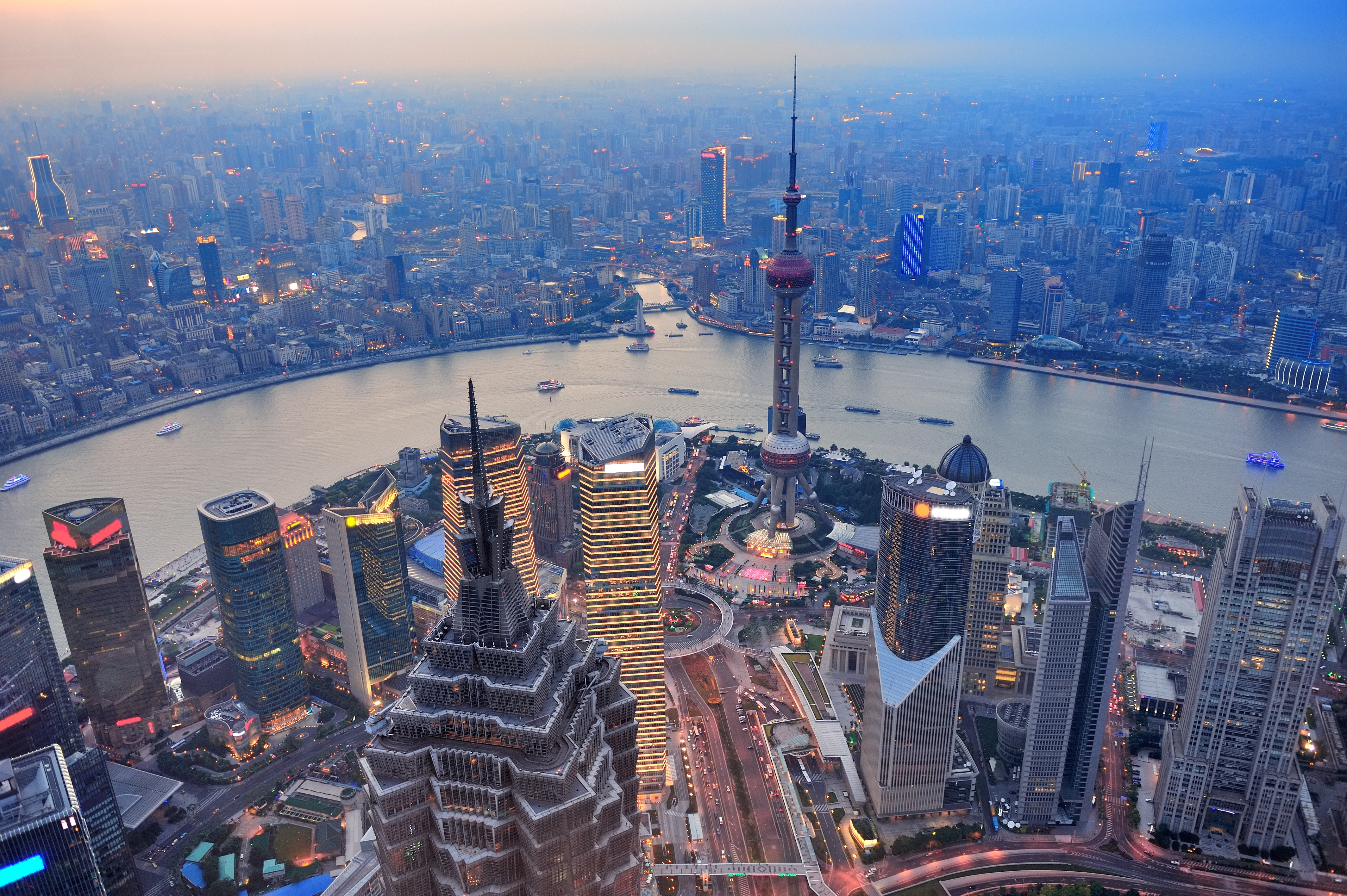
Southeast Asia covers approximately 4,600,000 square kilometers of land with 593,000,000 people (2008) and the population density of 116.5 inhabitants per square kilometer. It comprises 11 countries in 2 major land areas: main land and marine land. The main land consists of Myanmar, Thailand, Vietnam, Laos, Cambodia and Western Malaysia while the marine land covers Indonesia, the Philippines, Eastern Malaysia, Timor-Leste, Brunei and Singapore. There are 3 major geographical configurations: river basins (the Irawaddy River Basin, the Mekhong River Basin, the Red River Basin and the Chao Phraya River Basin), the highlands (the Chan Highland on the Aragan Mountains, most northern Laos highlands and the northern part of Western Malaysia and island areas (the islands of Indonesia, the Philippines and Singapore.
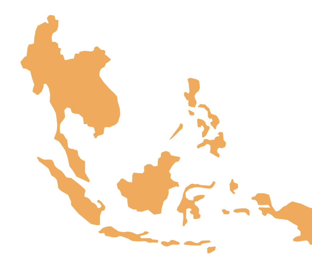
Except for Singapore and Brunei with advanced industries, most of the region’s economies are agriculture-based. However, other countries namely Thailand, Malaysia, Vietnam and Indonesia have currently been working hard to become more highly industrialized economies. Nowadays, they have set up the Association of Southeast Asian Nations or ASEAN where they have been actively participating in economic, social and cultural cooperation. The major cities in the region are namely Jakarta (the largest in the region), Bangkok, Chiangmai, Songkhla, Ho Chi Minh City, Hanoi, Putra Jaya, Kuala Lumpur, Bandar Sri Begawan and Phuket.
Brief Information of Southeast Asia
Asian Regions for the Development Plan
Master plan
by NSUE
IMPLEMENTATION GUIDELINES

If you want to know about NSUE
How are we committed to developing living conditions and the environment to live together in the city of the future?
